views
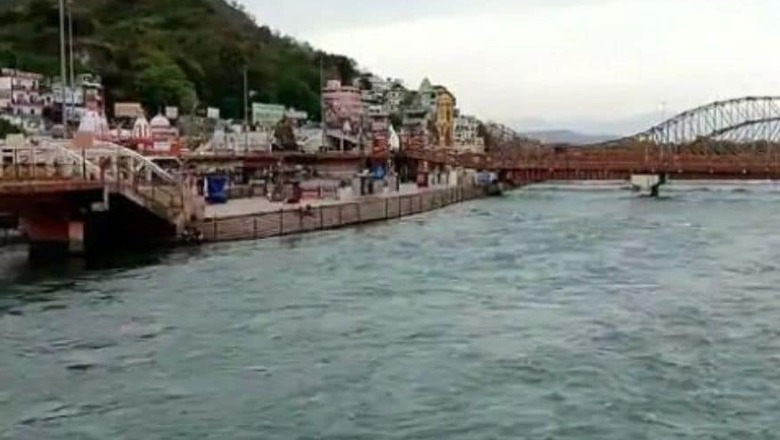
The Ganga and Brahmaputra river systems are part of the larger Ganga-Brahmaputra-Meghna river basin which covers India, China, Nepal, Bangladesh and Bhutan. The transboundary nature of the river system has major implications on people, economy, and socio-political setup in the region. Similarly, natural disasters, being interconnected, need to be looked at with an integrated approach. Assam and Bihar have the highest instances of flooding in India leading to loss of life, land, assets and displacement of communities. This year, at least 11 million people have been affected by floods in these states, and as on August 14, 2020, about 7,799,700 people have been displaced.
Several factors impact these annual floods. Catchments of Ganga and Brahmaputra receive very high rainfall and about 75 per cent of total runoff in the basins is discharged during the monsoon period. The obstruction of natural drainage systems increases the waterlogging period. Increased construction and deforestation in the uphill regions have also triggered erosion and flow of debris downhill, along with flash floods during heavy rainfall events. The courses of the rivers and their tributaries are known to change over time. Kosi, a tributary of Ganga, has shifted westward, about 112 km over the past 200 years, causing coarse silt deposition and erosion in North Bihar. While the Brahmaputra basin is tectonically active and major earthquakes of 1897 and 1950 have greatly changed the drainage setup of the basin, changing characteristics of floods in the region.
Studies have projected temperature rise in the Ganga-Brahmaputra basin due to climate change. Seasonal increase in temperature and rainfall from 2000 to 2100 will also increase the risk of flooding in the region.
The response to flooding has largely centred on flood-control mechanisms such as construction of dams and embankments. Proposals for riverbed dredging and construction of reservoirs for storage of excess water have been floated. However, these measures have been successful only to some extent. At other times, embankment breach and release of excess water from reservoirs during monsoons have added to the severity of floods.
The Government of India has laid out policies and programmes from time to time, considering the recurring floods; however, their implementation mostly remains incomplete. In 1975, the Model Bill for Flood Plain Zoning was prepared by the Central Water Commission as a guideline for states to undertake floodplains zoning. Only three states in India have enacted the legislation of the bill (Manipur, Rajasthan and Uttarakhand) whereas the most flood-affected states see the bill unimplementable.
The National Commission on Flood (NCF) was established to review various flood control measures in 1954, with specific focus on embankment construction. The report by NCF in 1980 noted that no credible scientific assessment of performance of embankments, quantitative evaluation of creation of additional flood issues and economic condition post creation of embankments have been conducted by any state. It made 204 recommendations; however, most of these are yet to be implemented. Further, as mandated by National Disaster Management Authority (NDMA), the central government made investments in forecasting technologies for early warnings to communities, while disaster management at the state level is the responsibility of the State Disaster Management Authorities (SDMAs) including flood-relief measures.
The discourse around flood-control needs to be updated with a flood-management framework, including flood-risk preparation, adaptation and strategies for post-flood recovery. This should include a combination of structural measures and floodplain rejuvenation, an effective communication system for the dissemination of early warning and livelihood diversification to build resilient communities. The Energy and Resources Institute (TERI), supported by the National Disaster Management Authority (NDMA) recently launched a Flood Early Warning System (FEWS) for Guwahati, Assam, which will provide flood alerts to local authorities with a lead time of 72 hours. This model can be replicated across flood-prone areas of the country.
Instead of creating more embankments, timely repair of the existing ones should be considered. Wetlands act as sinks for excess water in floodplains and hence, encroachment of ponds, swamps and wetlands should be prevented. Further, the drinking water and sanitation facilities of relief centres need to be improved to cater to the health of flood displaced people. States should implement the Model Bill for Flood Plain Zoning, customised to the situation in the state. The purpose of the Flood Plain Zoning is to minimise damage due to regular flood events by regulating the land use in the flood plains. Various international case studies can be referred to build a framework for incorporating flood management measures by adapting to Indian conditions and requirements of the river systems. There is also a need for transboundary cooperation for Ganga-Brahmaputra basin, in terms of data sharing, river basin planning and stakeholder inclusion for flood management. It is time to move from politics to policy, for effective flood management in the region.
(Authors: Ms Mayuri Phukan, Senior Research Fellow, Water Resources, TERI and Ms Niyati Seth, Research Associate, Water Resources, TERI. Views expressed are personal)


Comments
0 comment