views
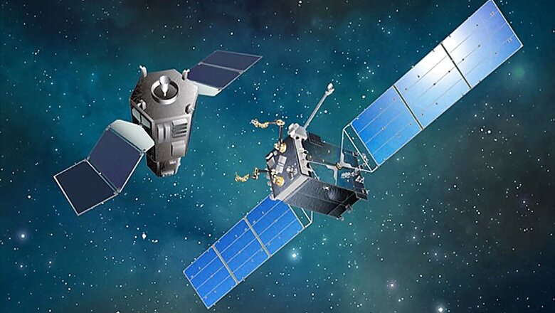
Indian satellite Cartosat-2F reportedly came too close to a fellow earth observation satellite from Russia, Kanopus-V, reports across the internet claimed. The incident happened in a low earth orbit on Friday, November 27, and the same was subsequently reported by Roscosmos, Russia’s state-controlled space agency. The latter cited data drawn from its TsNIIMash centre, part of its Warning Automated System of Hazardous Situations in space, to state that the Indian cartography satellite, Cartosat-2F, came as close as 224 metres to the similar Russian satellite Kanopus-V, before any hazardous collision was avoided. While ISRO initially did not comment on the matter, it reportedly acknowledged the incident later.
According to a report, ISRO chief K. Sivan acknowledged that Cartosat-2F and Kanopus-V did encounter a close approach on Friday. However, contradicting Roscosmos’ statement, ISRO claimed that the two satellites were still 420 metres away from each other. Sivan also reportedly said that ISRO had been tracking Cartosat-2F’s trajectory for four days, and that any route correcting manoeuvre would have only been done once the two satellites came within proximity of less than 150 metres from each other. Sivan also reportedly stated that such close approaches between satellites, particularly in the lower earth orbits, are increasingly common, and are generally not divulged or reported to the public on a regular basis. He further claimed that a similar close approach between satellites also happened with a Spanish unit recently.
Given the increasing number of satellites being deployed in space, it seems fairly possible that route correction and collision avoidance moves would be a fairly regular thing for space agencies to look out for. India’s ISRO is, on this note, one of the world’s leading space agencies, helping ferry satellites of other nations to space as well. While some, like the Cartosat-2F, are assigned to study the terrain and atmosphere of earth, others may be assigned for communication and related purposes. Similar moves in recent times include Elon Musk-backed SpaceX’s Starlink — a project that aims to put a whole constellation of satellites around earth, therefore surrounding our planet with a literal web of connectivity.
This can seemingly help connecting remote, difficult to access places such as faraway mountain villages with internet and communication services, and also decrease the overall cost of connectivity services. Other satellites such as Kanopus-V and Cartosat-2F are largely assigned to study changing weather patterns and help predict natural calamities, which in turn can prevent widespread loss of life from natural disasters. Given the vital work done by these satellites, space agencies typically deploy numerous technologies alongside manually monitoring satellite operations, of which collision avoidance is likely one vital part.
Read all the Latest News, Breaking News and Coronavirus News here


Comments
0 comment