views
X
Research source
In this tutorial, you will find guidelines on how to draw maps that look natural, vivid, and visually appealing.
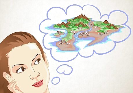
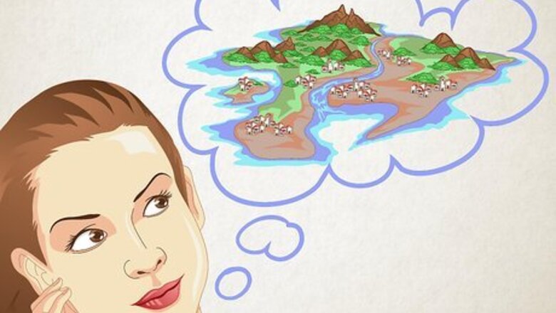
Make a mental image of the place you want to draw. Focus on the features that tie up the map together, such as coastlines, mountains or other major features you want your map to focus on.
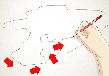
Draw the major lines of your composition. It can be a good idea to begin with coastlines, if your map is to have bodies of water in it. Do not expect your drawing to look like your mental image, even with the simplest idea.
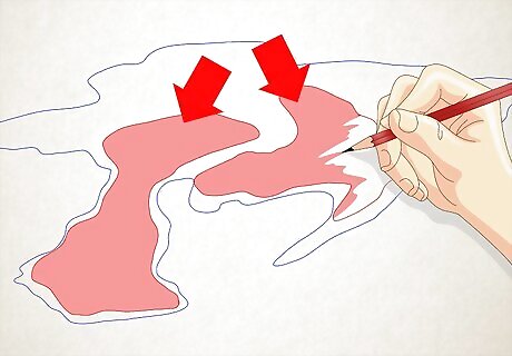
Leave room for lots of features you may think of later. This will help to make your map more interesting and will help you to balance the image in later phases of drawing.
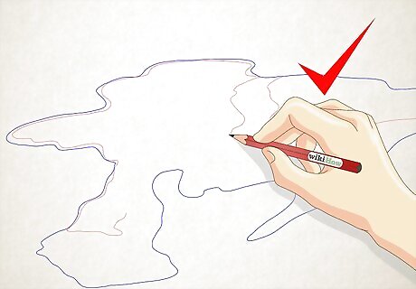
Become inspired by free drawing! If you aren't sure what you want the map to look like, just start drawing lines oriented around shapes and lines.
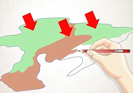
Remember that if you want a natural looking map, the map has to be separated into regions in various ways. Then add the details later as you define the various regions; this includes coloring.
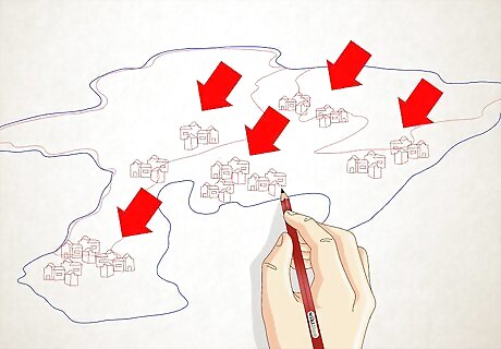
Note the details of maps. If you know enough about maps, you will see that that each area has unique features, keep an open mind and don't limit yourself to maps that look the same all over. Things to add include (some of these are elaborated on in the following steps): Mountains Canyons Coastlines Rivers, lakes Islands, islets Forests Major roads Cities, towns, villages, outposts, hermit dwellings, farms, etc. Animal herds, groupings, etc.
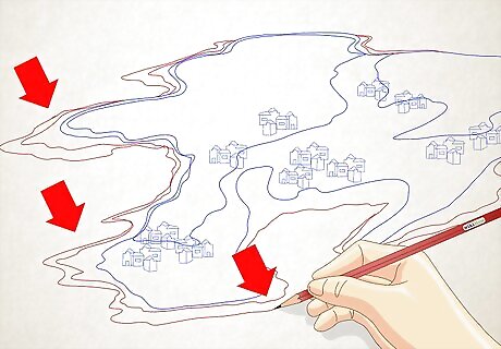
Take care to detail coastal areas. When drawing coastlines try to be especially detailed and varying, make certain areas with many peninsulas and bays, and others that are straighter. Islands and lakes can be anywhere, but try to make a peaceful composition. Make the general shape of your landmass first, then add more eccentric features, you have to pull the coastlines inward and outward, otherwise, the map will look unnatural.
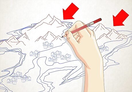
Create mountains. Mountains are normally in small clusters or chains. If you make a large cluster, it should be connected to other areas. Mountains can be absolutely anywhere and should not be limited because they are also a very important part of your composition.
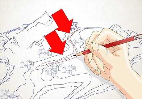
Add some rivers. Rivers can also be anywhere, make sure most of them are wavy, but they don't always have to be. Rivers in mountainous areas are usually straighter than rivers in flat areas. Try to make them originate from lakes (any size) or areas of higher elevation.
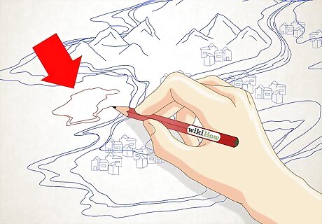
Include islands. Make archipelagos and clusters, but lone islands may also be used. If coastlines and landmasses still confuse you, try to extend your drawing to include underwater elevations.
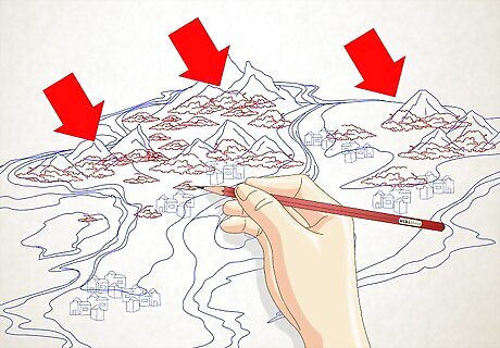
Keep pushing the composition. Include hills, vegetation, and population. Add in animal herds. Be creative and follow your heart. Add details that make it look more realistic.
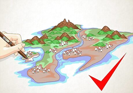
Finished.




Comments
0 comment